The pre-digital printing technique that was originally used in comic books (among other applications) is called halftone printing, or halftoning; raster imaging is its digital equivalent. Roy Lichtenstein once painted a giant comic strip panel titled Whaam!, and I think Andy Warhol was also fond of producing oversized images in which the halftone dotting effect was magnified.
Tjoek's A&A Anniversary OOB Map file (Updated March 23rd)
-
@Imperious-Leader said in Tjoek's A&A Anniversary OOB Map file (Updated February 7th):
@Tjoek Well i hate to mention this, but you might want to redraw Norway and most of Europe and make a “Realistic Coastline” version and center in on Europe, and add Azores, Maldives, and a few others ( Sicily too). I hate to ask this but can you work on that?
Sorry IL, I know you’re a fan of the more realistic maps but it would be far to much work for something I won’t use myself.
@Imperious-Leader said in Tjoek's A&A Anniversary OOB Map file (Updated February 7th):
Also can we get a clean version of the map, meaning removed images or pictures because i want to add /replace the pictures with better ones and redo the charts and add some meaningful game play info.
What exactly do you mean? The files I supplied are already with AND without the original pictures for planes, logo’s and mobilisation zone. Just choose the file you like. I cannot think of other pictures to remove…
-
@Tjoek said in Tjoek's A&A Anniversary OOB Map file (Updated February 7th):
"Sorry IL, I know you’re a fan of the more realistic maps "
Well you only need to fix Norway, France, England, Iceland and Greenland. The rest will improve by relation. Like me standing next to an ugly women, makes her more attractive.
-
@Imperious-Leader said in Tjoek's A&A Anniversary OOB Map file (Updated February 7th):
@Tjoek said in Tjoek's A&A Anniversary OOB Map file (Updated February 7th):
"Sorry IL, I know you’re a fan of the more realistic maps "
Well you only need to fix Norway, France, England, Iceland and Greenland. The rest will improve by relation. Like me standing next to an ugly women, makes her more attractive.
Nice try, even though I agree it’s still not worth the work from my point of view.
-
Hi All,
Somehow I was drawn towards this map once more and included a few more cleanups and enhancements. See first post for all details and new maps.
Updates in short:
- Enhanced colours preserving more details in the map
- Correctly centred 10 territory names
- Renames “Anglo-Egypt Sudan” to “Anglo-Egyptian Sudan”
- Removed two non existing “Atlantis” islands south of the Philippines
- More smaller things
I hope you like it!
-
Hi, you’ve done a really remarkable job on cleaning up and improving the AA50 map. Thank you for your efforts, and thank you for making the map files available to the community. I’m looking forward to printing your map as soon as I have the $ available… :)
-
-
@dracolich
It depends on which map file you open. The first two are the cleaned up versions with Honolulu in the correct location.The third and fourth file are closer to the original bord with no major corrections like removed artwork, Honolulu, removed Atlantis islands etc.
If you fancy a combination of both map versions feel free to copy paste the things you like from one map on top of the other.
I will update the first post in the coming days to make the difference between the files more explicit.
-
@Tjoek
Oh yes, i didn’t the not-oob map sorry =/I will copy and paste that part of the map!
Thank you!
L
-
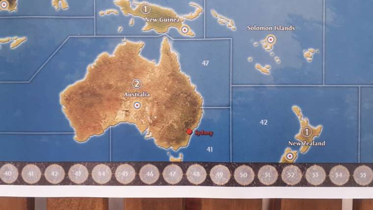
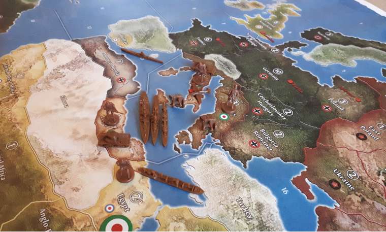
Some time ago, Tjoek had this map printed for us on the original size. The quality of the map is excellent: the resolution is high and the material seems robust. It’s at least as good as an official map. Very happy with the result!
I’ll upload 2 pics to show the resolution (check out the IPC-tracker Tjoek added) and the relative size.
-
-
@Ozymandiac Thanks for sharing with us! Did you already play a game on the map?
-
@Tjoek Of course! The map felt and played at least as good as the real deal.
-
I know it’s a typo on the original board but it really bugs me
Afganistan should be Afghanistan.
Love the map and really want to get it printed
-
Really love the map Tjoek. No print shop will print it for me though. Copyright thing.
-
@krazydman said in Tjoek's A&A Anniversary OOB Map file (Updated March 23rd):
Really love the map Tjoek. No print shop will print it for me though. Copyright thing.
Why not ? OZ got his printed
-
@gen-manstein I wish I could tell you. I went to Officemax to have it printed, and they refused to do it because of it being copyrighted. even though there is no copyright on the map I brought them.
-
@krazydman said in Tjoek's A&A Anniversary OOB Map file (Updated March 23rd):
@gen-manstein I wish I could tell you. I went to Officemax to have it printed, and they refused to do it because of it being copyrighted. even though there is no copyright on the map I brought them.
Try a different print shop. More of a not a corporation business.
-
 V vodot referenced this topic on
-
All, I’m creating modular overlays for these incredible maps to do more aberrant things like subdivide Australia, change IPC values, add VCs and more - check out the thread and let me know what map tweaks you would like to see!
-
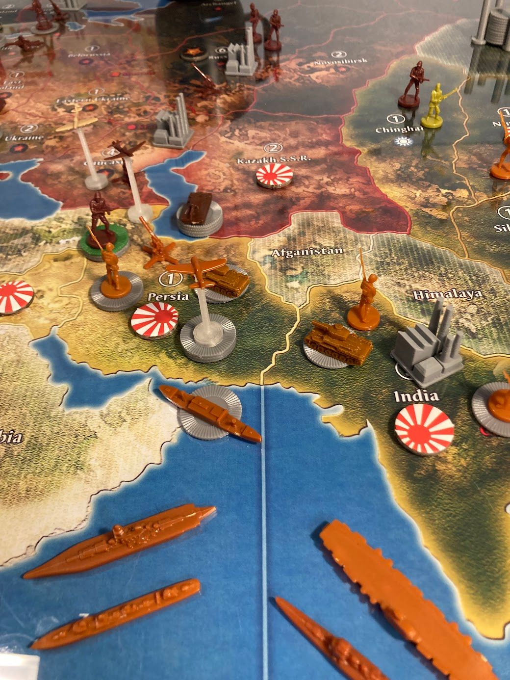
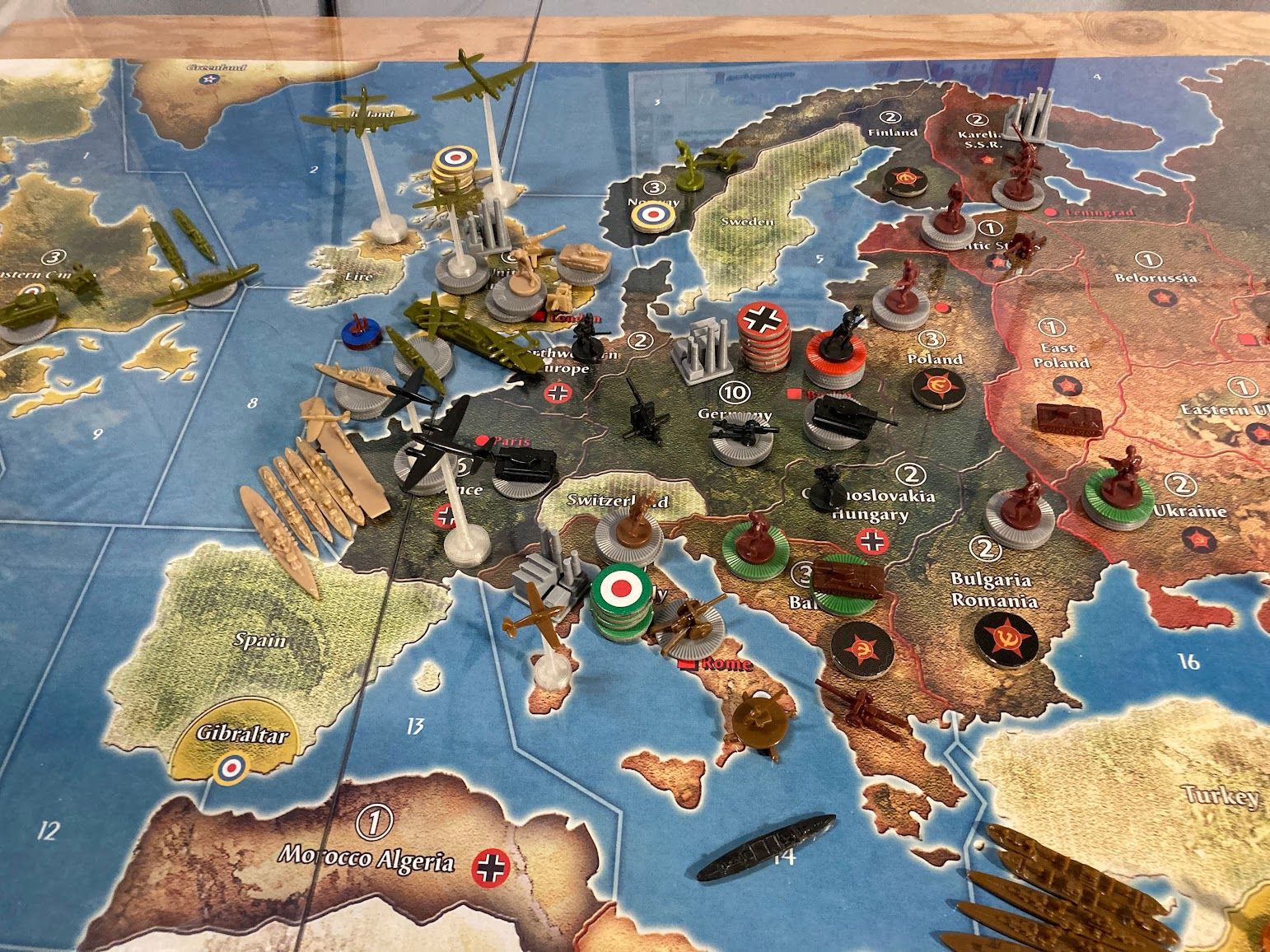
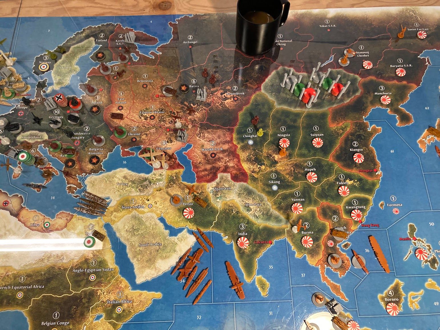
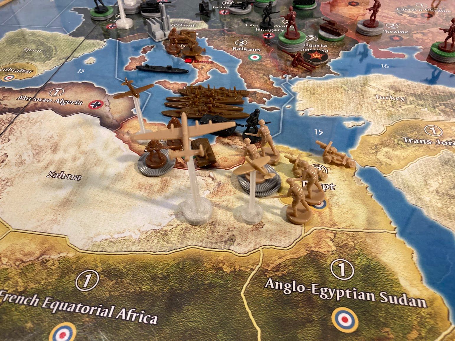
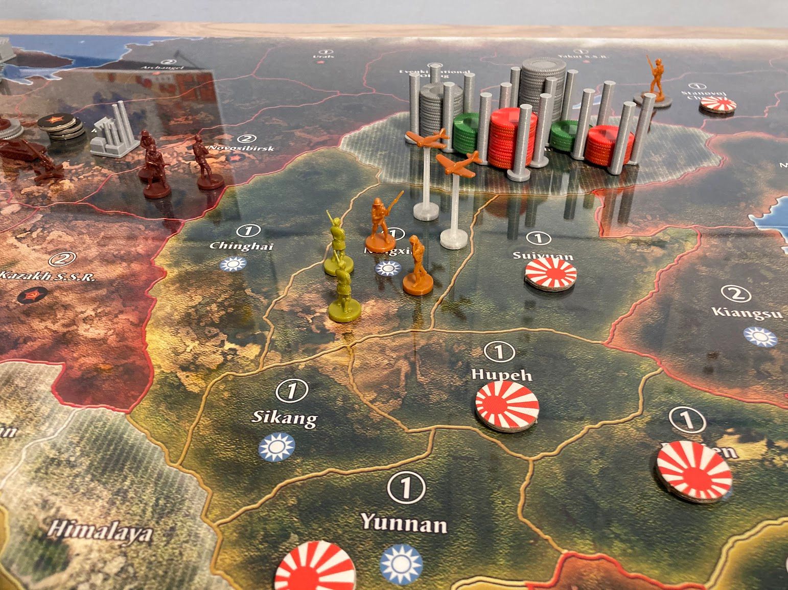
@Tjoek I just want to show off some more images of these incredible maps from a recent solo game.
This printout is from an HP DesignJet T830 on satin paper at 60x32" and covered by a 1/8" sheet of acrylic. I assure you that any blurriness in the photos is due to image compression or camera focus - the map itself is razor sharp and beautiful!
