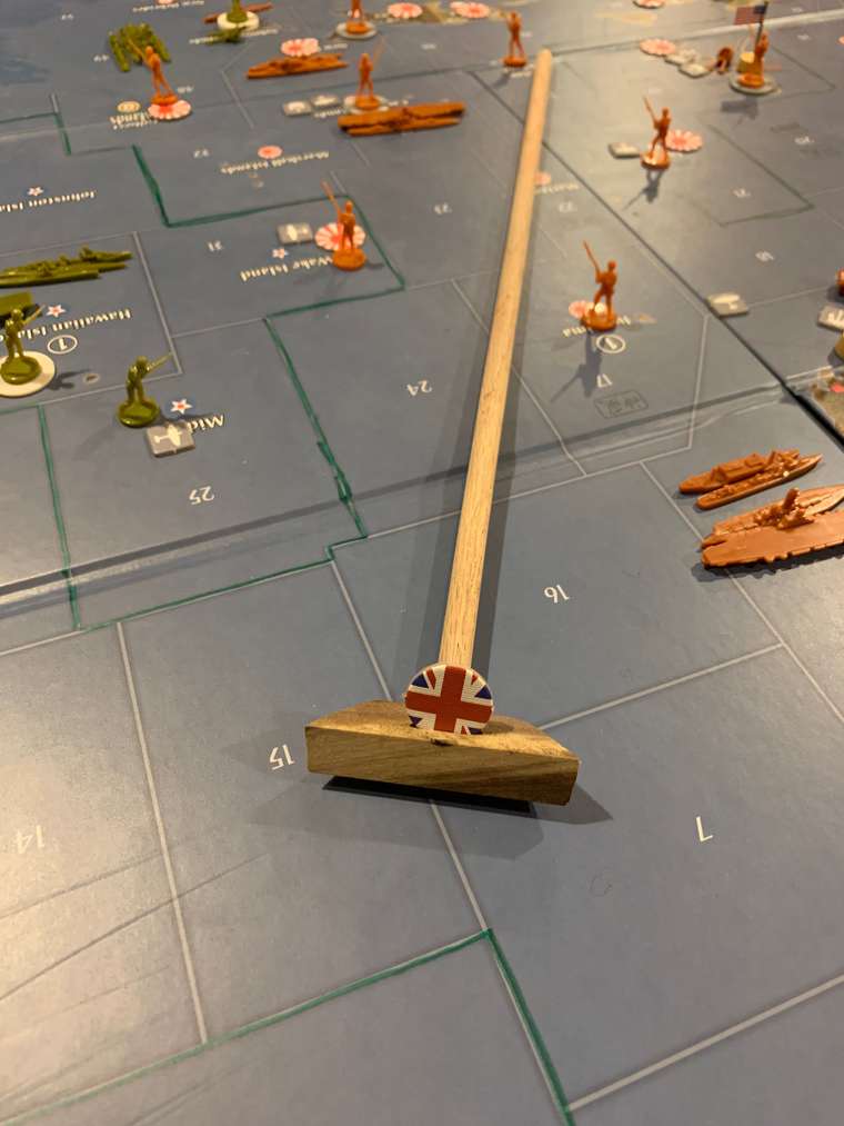
Sounds like a fun project. The fundamental problem you’d have to solve, however, is the fact that the country names and – even more problematically – the country borders that existed historically in WWI were in some cases quite different from what they were in WWII.If you make them accurate for WWI, you’ll eventually end up in an alternate-history situation in which you’re fighting WWII on a WWI map with WWI powers as players. It can also be argued that the political extremism of the 1920s and 1930s that eventually led to WWII was a direct result of the way WWI ended (specifically, the Versailles Treaty), and that if you alter the end of WWI then you alter the situation that eventually led to WWII. That’s fine if working in an alternate-history environment is something you’re comfortable with; you simply have to be aware that you’re dealing with alternate history.
In terms of the map problem, perhaps the only option that would cover all the bases accurately, regardless of the political situation at any given moment, would be to use a simple map that is purely topographical rather than political in its territorial divisions. A supplementary element could be to add overlays (drawn on large acetate sheets, or something similar) that provide political borders which can be adjusted from decade to decade.


