@Imperious-Leader I would also like a copy but I imagine there would by copyright issues with this.
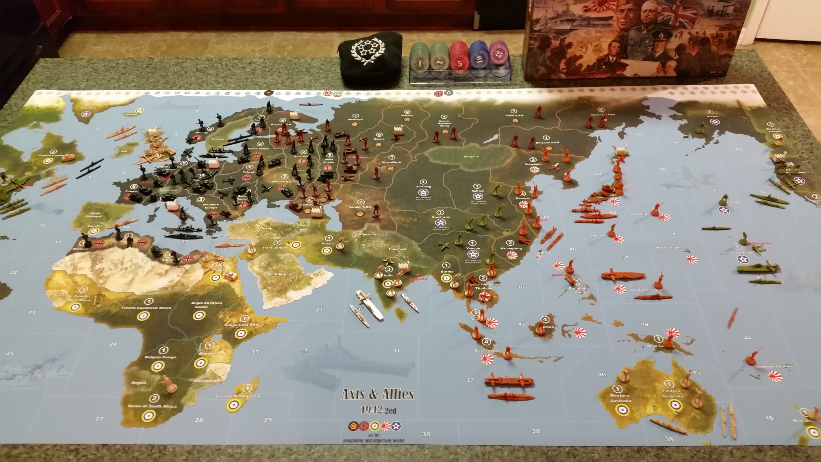
Supreme map 1942 ed 2
-
Insert Quote
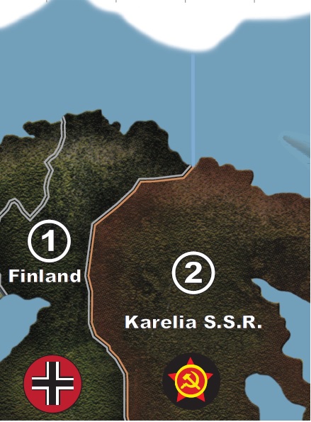
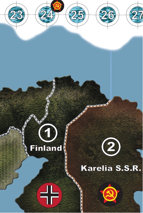
It is the double triple border thing.
Is it the number of lines making up the border?Yes. See examples below.


-
Hi All - This is my first post in the forums.
I have been playing Axis with only a best mate for about 8 years.I did a similar thing with the Spring 1942 edition - I scanned the board and photoshopped out the creases and printed it at about 1.5 metres long…
I will post this up unless anyone says not to … ( Is it a copyright infringement? ) but I will post in the corresponding forum for that game board.
We are Axis players in Australia! We are the sub and cruiser off Australia hahaha we like to call it the HMAS Sydney!.
Greetings from two fellow Axis nuts. (I even started painting model kits again as our ‘trophies’ for our games!)
Love it!
-
Welcome to the board, SteveO!
If you’d like to paint the units too, feel free to take a look at the customization forum. There is a lot of phantastic work of enthusiastic people, documented by fotos.
Please bear in mind, that you have to do some posts in the forum until you are allowed to upload fotos (for the sake of avoiding automatic spam).
-
Hi,
Thanks for all the hard work. I would love to check these out, but it seems MediaFire is just not allowing me to download them, giving messages like “the file could not be downloaded” or “the download was interrupted” (and half the times when I click the Download button, it opens a popup, but doesn’t ask me to save it somewhere at all). Are the links still valid, and/or are there any backup links?
Thanks, ZeusEQ
-
I assume, you may have made a mistake in the download procedure: undergoing the “obvious” (but wrong) download procedure will cause mistake messages as you described.
Instead, you have to follow the procedure described below:Correct procedure:
1. click on link
2. a screen of mediafires open, a download starts, but:
3. interrupt the download by clicking on the download button at the upper right top of the screen (the image below shows you the corresponding button!)
-
I just tried it with a triple border map and it worked correctly…
-
Hi Dedo,
Thanks for your quick reply. You mentioned using this button before in this topic, so I already did it that way. I just retried, but the result is the same unfortunately. I tried this both at home and at work. Maybe it’s a browser issue? Or maybe you are logged in to the site (as I assume you have an account there), and so get a different experience.
Both at home and at work I’m using Internet explorer. I’ll try again tonight from a different PC that uses a different browser (though still Microsoft).
Thanks, ZeusEQ
-
Or maybe you are logged in to the site (as I assume you have an account there), and so get a different experience.
When trying to download, Mediafire offers me to log in, that is, the software doesn’t know, who I am. So, I assume, it is not required to be logged in.
Personally, I’m using WIN7 and Firefox.Additionally, I tried it with MS Internetexplorer, and it worked.
when clicking on the appropriate download button, you should get the following window:
-
Hi,
I could download them yesterday evening without any problems using Microsoft Edge on Windows 10. I guess it was either the time of day or a firewall issue or something vague like that :-).
Thanks for your efforts! The maps look awesome, and I will definitely look into having one printed.
ZeusEQ
-
Thank you dedo for the fantastic hard work that you put into this! I tried to tackle the issue myself over a year ago and gave up!
I’m so looking forward to playing this summer on a new giant board!
Thanks again!
-
You’re welcome! Thank you for your friendly words and: have fun playing the big board!
-
Maps are great… I will be printing one soon… aside from the size difference and the double/triple border between territories, I see the “5th” file differs by having the Mobilization box in the South Pacific (bottom right of map), while the other four have the Mobilization box in the South Atlantic.
1941 OOB map defaults to a Mobilization box in the South Atlantic while 1942SE OOB map defaults with the Mobilization box in the South Pacific… after reading this thread, its clear the first four files were made with it in the South Atlantic, and the 5th map, with it in the South Pacific was made per request to put it back in the OOB position.
Aside from personal preference I guess… is there any rime or reason one is better than the other? Or is it really just a personal preference thing. Even OOB maps have it in both places (1941 vs 1942).
-
Just as a public service, I am having the 1942 SE Supreme map (1625x863mm, shrunk down a slight bit to 57x30" so it can fit on my intended playing surface) printed at my local Fed-Ex Office print shop on outdoor banner vinyl. It’s costing me about $90 (US dollars) to have this done (might be a few bucks more than it otherwise would have been because I had it resized). I know not everyone will get the same prices or print the same size, but that’s just to give a ball park figure in 2016 dollars of what a typical big box print shop will charge for such a project. Kudos to Dedo for making this available to the A&A community! Here’s my results:


-
Looks awsome !!
When i played a few more games, i might get myself also a bigger printed map :-)
-
Wow, this got moved out of the 1942 SE forum?!?!
-
Aside from personal preference I guess… is there any rime or reason one is better than the other? Or is it really just a personal preference thing. Even OOB maps have it in both places (1941 vs 1942).
In this case it was just a special, personal wish of one of the users to deploy the mob zone at another place on the map. Was no problem to me to shift the mob zone (it is only “one” object to be shifted apart). If you are going to work with a graphical software like Corel Draw/Paint, it is easy to convert the actual pdf file into a vector graphics file, where you can change all these things. The maps were originally developed with Corel.
Sorry for the late answer, was on travel for some days. Thank you for your kudos! And, of cause have fun playing the map!
-
Great map… oddly enough, the 1941 has the zone in the South Atlantic and the 1942 map has it in the South Pacific. I see no clear benefit for it to be in either location over the other, so out of confusion, I just used your map of it in the South Pacific cuz it matched the OOB map of 1942 the closest… no other reason.
-
A professionally printed map is the way to go - we’ll never go back!
-
I would prefer to put this map thread back into the 1942-2e board. A map thread is more important in the related board, as people looking for maps firstly search in the corresponding board.
If the person in charge for the map thread movement can’t agree on this (for whatever reasons), I would suggest, the map thread from the 1941 board should be moved to the customization board too to avoid confusions.
I will try to move this topic for you when I get home this weekend, it’s not letting me do it from my phone for some reason.


