


@General-6-Stars ill find it for you and send the values
First draft 1914 map file
-
Imperious Leader '17 '16 '15 Organizer '14 Customizer '13 '12 '11 '10last edited by Apr 14, 2014, 6:31 AM
I have it but it has only one change ( Germany has swastikas as roundels)
you want it?
-
Yep
-
Imperious Leader '17 '16 '15 Organizer '14 Customizer '13 '12 '11 '10last edited by Apr 14, 2014, 8:23 PM
ok one sec
-
Imperious Leader '17 '16 '15 Organizer '14 Customizer '13 '12 '11 '10last edited by Apr 14, 2014, 8:26 PM
https://www.mediafire.com/?ba93cejjgmcnqtk
enjoy it. Remember it has Azores and Malta. That is the only changes. You will thank me if you play with them, makes for a much better game.
-
Looks beautiful,
I “like” the swastikas, makes it a unique map. Malta and the Azores are welcome. I guess Azores is controlled by whoever invades it?
Does Romania now contain a Victory City? Cool. But I think it might be misspelled, it should be Ploesti, but says Polesti.
I am 99% happy with this version.
IF it were possible, could I ask for the misspelling to be corrected AND possibly remove the units box in the Pacific? The only other “complaint” I have is the SZ border between the UK and Ireland is a darker shade of blue than the others. Same with the SZ below French Indo China.
I also noticed the SZ line going through Madagascar, and the unit box in the Pacific.I REALLY want to put this to print, soon! :mrgreen:
-
Imperious Leader '17 '16 '15 Organizer '14 Customizer '13 '12 '11 '10last edited by Apr 15, 2014, 2:55 AM
Does Romania now contain a Victory City? Cool. But I think it might be misspelled, it should be Ploesti, but says Polesti.
I am 99% happy with this version.
IF it were possible, could I ask for the misspelling to be corrected AND possibly remove the units box in the Pacific? The only other “complaint” I have is the SZ border between the UK and Ireland is a darker shade of blue than the others. Same with the SZ below French Indo China.
I also noticed the SZ line going through Madagascar, and the unit box in the Pacific.I REALLY want to put this to print, soon! afro
Ill do this and get you a new link
-
Imperious Leader '17 '16 '15 Organizer '14 Customizer '13 '12 '11 '10last edited by Apr 15, 2014, 3:26 AM
Ok buddy, i fixed a bunch of things.
Check spelling and font for spelling changes. I noticed alot of other things and fixed them. sea lanes are in right place and not missing the blue component.
-
IL, I can’t thank you enough.
I love this version more than OOB by far, looks amazing. I appreciate the work you have done.
I noticed two things though:
1. French Madagascar has a SZ line running through it.
2. The Axis & Allies logo between SZ 32 and 31 has the SZ line over top instead of underneath.
Otherwise, spelling and everything looks great! If you could get this out to me asap I would be eternally grateful.
PS. Once I have this map I will go straight to the printers, and next week I will post ALL of the maps to showcase them :-D
-
Imperious Leader '17 '16 '15 Organizer '14 Customizer '13 '12 '11 '10last edited by Apr 15, 2014, 7:41 PM
Ok ill check on that and get a new link
-
Imperious Leader '17 '16 '15 Organizer '14 Customizer '13 '12 '11 '10last edited by Apr 15, 2014, 7:59 PM
https://www.mediafire.com/?nzwu561zwb12cjl
check it. I think it’s good now. Enjoy
Another satisfied customer
-
Yes indeed.
Going to pick up my Bulge map tomorrow, and putting this one to print.
-
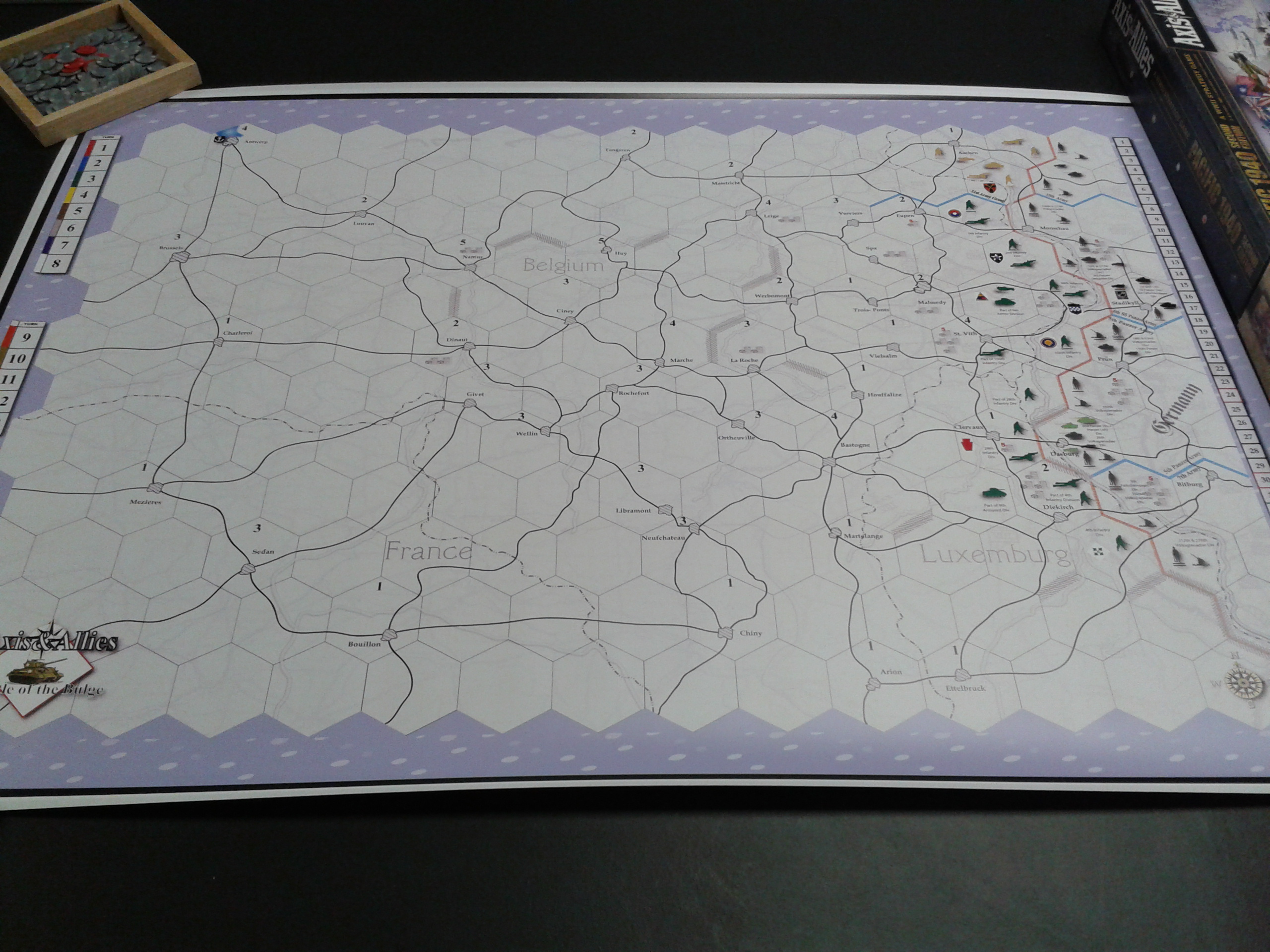
Here’s Bulge
-
Imperious Leader '17 '16 '15 Organizer '14 Customizer '13 '12 '11 '10last edited by May 14, 2014, 3:41 AM
Nice!
Suggested Topics

