@Tjoek:
Hi Mukremin, it seems where both from the Netherlands and I’m curious which print shop you used.
I haven’t come across a shop that prints on vinyl, but it seems that most do print on PVC material for outdoor banners which might be comparable to vinyl.
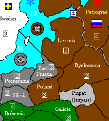
Hi mate! I have printed it in a regular copy&co shop, in Tilburg. I have printed it on regular hard poster paper, it isn’t perfect but it did very well and the lads liked it more than the original board. If only i can get a larger print on vinyl/PVC. That would be awesome.
@Flashman, i did not have any trouble with crowded tts, only issue was in Switzerland. If you have a 20cm more larger map then your troubles are over, no more over crowded issue.