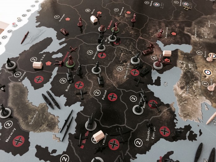
The only issue i had was the seazones tended to blend
What do you mean exactly? Is there a blending A) between the seazones (seazone borders between seazones are problematic) or B) within the seazones (bleeding of colors)? However, in the most cases, problems of a print out are related to the printer. If your computer screen shows you an accurate picture or graphic, the print out should be of the same quality (depending on the printer…).
A) When I remember right, the seazone border colors are predominantly white. Most of the standard printers (99%) do not print white. For example, try to print a white bar or something like this on colored paper, probably it will not work.
B) Bleeding: When I printed parts of the map the first time, I couldn’t find any bleedings. Again, bleedings may depend on your printer (I used a color laser printer). If you print the map on a standard printer, you should use the best solution and print quality possible.


