Hi All!
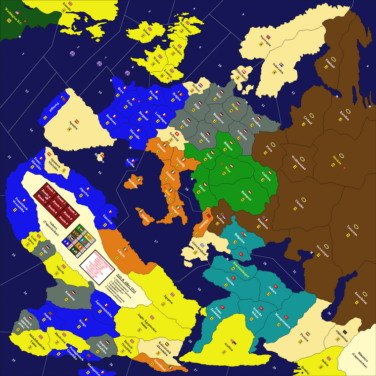
After my maps for Global 1940 and Anniversary I started working on a cleaned version of the Axis & Allies 1914 map. I’ve been working on it on and off for about a year now and with some helpful feedback from this community as well as my local gaming group I finally finished it!
A&A WW1 1914 OOB map files
I made 2 basic versions of the map (one without and one with the harbours printed on the map). Both will have a replaced Sahara artwork as the original artwork was near impossible to fix in the fold line of the map running right across the Sahara, Next to that I will give you two small images you can add as an overlay to your own liking:
- Unrestricted Submarine Warfare icon
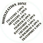
- Mobilization Zone
See below for the 2 map files and 2 overlays:
Map files
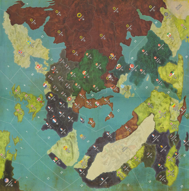
Please see my scan of the original game board with removed harbours as well as removed Sahara artwork with 1/4 inch white border [400 dpi]:
Download the A&A WW1 1914 with removed harbours and Sahara artwork here
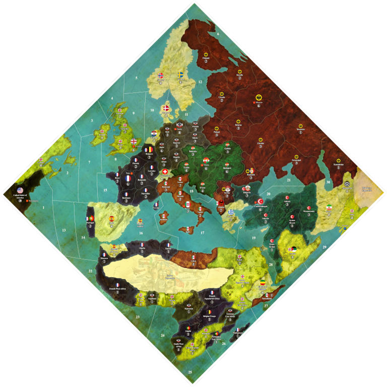
NOTE: this file can be enlarged and can easily print up to 52 inch (250dpi)
Same file as above but with harbours [400 dpi]:
Download the A&A WW1 1914 with removed harbours and Sahara artwork here
NOTE: this file can be enlarged and can easily print up to 52 inch (250dpi)
Extra overlays
Unrestricted Submarine Warfare Icon
Mobilization Zone
Work done
What I’ve done with the map (bold and italic items are either new our revisited):
- Scanned the map in 16 partly overlapping A4 scans in 400 DPI
- Stiched the 16 individual scan together
- Retouched the folds and creases of the map boards
- Retouched scratches and dust particles on the map
- Removed harbors (they are now optional on the map)
- Replaced original Sahara artwork with cleaner version without logo, IPC tracker and Mobilization Zone
- Extracted Mobilization Zone so it can be added back in if you like to
- Repositioned Paris and Moscow to be more correct
- Re-centering roundels, names and IPC values
- Boost colors to be more vibrant as the scans are a bit dull (Colors are slightly warmer)
- Reduced scanning noise
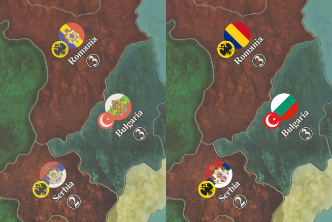
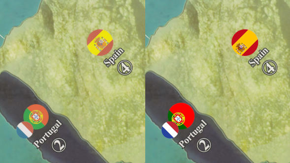
- Replace roundels with high quality artwork
- Replaced Bulgarian and Persian roundels with more correct ones from this period
- Replaced Holland roundel with a bit more of the royal coat of arms
- Reduced dark contrast between some territories and new artwork for the Sahara in Libya, Egypt and Anglo-Egyptian Sudan
==================== ORIGINAL FIRST POST BELOW ===================
After my maps for Global 1940 and Anniversary I started working on a cleaned version of the Axis & Allies 1914 map. I’ve been working on it on and off for about a year now and I’m close to finishing it.
What I aim for with this 1914 OOB map:
- Map is based on high resolution scans of original map (400dpi) so it can be printed larger than normal. More than twice the size is possible.
- The territory roundels, names and IPC values are often badly centered to one another as well as positioned within the territory itself
- The way the Impassable Sahara is used for income tracking and unit costs is not to my liking, so I want to cleanup this area with a ‘cleaner’ artwork in style with the original
- Personally, I prefer playing with my own harbor tokens so I will remove them from the board
- I will replace the roundels with new high quality artwork to prevent any scanning noise from being visible in these details of the map
- Reposition Paris to be more in line with where it should be
- I aim to share on cleaned version of the map (replaces Sahara and removed harbors) as well as a more closer OOB version where these two items are not touched.
Progress:
Scanned the map in 16 partly overlapping A4 scansStiched the 16 individual scan togetherRetouched the folds and creases of the map boardsRetouched scratches and dust particles on the mapRemoved harborsReplaced original Sahara artwork with cleaner versionReposition Paris- Re-centering roundels, names and IPC values (work in progress)
- Boost colors to be more vibrant as the scans are a bit dull
- Replace roundels with high quality artwork
Sneak preview:
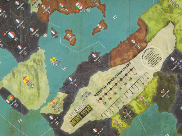
Let me know what you think and how this map could be approved even further while staying close to OOB.


