


1940 europe
Turn Order?
-
@Yoper:
@Brain:
Check out Reply #43 on this page:
http://www.axisandallies.org/forums/index.php?topic=15278.30
How do you attach a jpeg like that. I have tried an always get a message saying file to large.As it says in the Additional Options below, you must make sure the file is smaller than 256 KBs.
Thanks Yope, I thought that maybe some people found a way around that.
-
Well here goes, hope this works:
-
First you had a mediafire link and now you have an attachment. Did you change it because you realized that the file was small enough to attach?
-
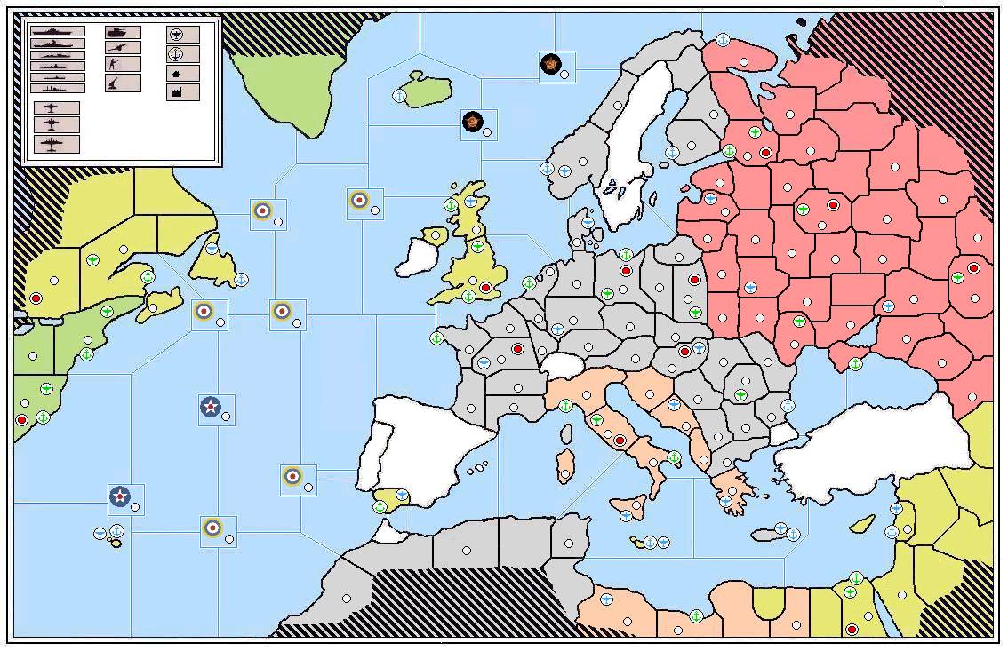
Nope, I changed it because I noticed the ‘Additional Options’ button below the text box, and it was as easy as that. The map is not quite finished. I just need to add the territory names and values, which I already have on paper.
-
I am guessing that the red dots are the victory cities and that the white dots are the as yet undetermined IPC values. Where are the capitals?
-
The red dots act as both the victory cities and capitols. I could make a change to show London, Berlin, Moscow, Rome and Washington D.C. more clearly though. All the territory names and IPC values have already been determined and I will get them onto the map asap. Thanks Brain.
-
The red dots act as both the victory cities and capitols. I could make a change to show London, Berlin, Moscow, Rome and Washington D.C. more clearly though. All the territory names and IPC values have already been determined and I will get them onto the map asap. Thanks Brain.
I eagerly await seeing the new map.
-
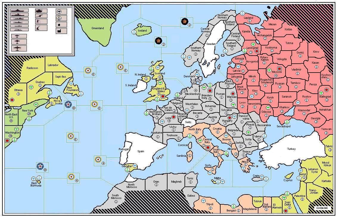
Right, here we go. Capitols now more obvious, territory names and IPC values in place. Let me know if you spot anything incorrect or omitted by accident… Thanks!

-
What is the difference between the blue and green plane icons?
-
The blue installations are minor; the green major. This is a home made game of A&A Europe 1941 I am designing. Just working out the unit set ups.
-
The blue installations are minor; the green major. This is a home made game of A&A Europe 1941 I am designing. Just working out the unit set ups.
Are the neutrals going to have IPC value?
-
Nova Scotia is not an island
-
Hi guys. Nope, the neutrals will stay neutral in my game. And I have now fixed the Nova Scotia issue; thanks for pointing that out.
-
Newfoundland, not New Founland. :wink:
-
How large is the map going to be when it is printed?
I am trying to get an idea of how large the territories are going to be,
-
@i:
hey wouldnt there be a naval base in halifax
quebec is getting an ic and the naval base. so the mouth of the saint lawrence has access to the atlantic.
nova scotia might me a part of the quebec territory, but if it is not there is no need to have 2 territories side by side, both with naval bases.
-
Hi all, the map prints out onto 16 sheets of A4 paper; I don’t know the exact dimensions of that though. It’s much bigger than the AA50 map.
Thanks for the correction on New Foundland; my typo there. Nova Scotia is connected to Quebec. Quebec will start the game with a Minor IC.
-
Hi all, the map prints out onto 16 sheets of A4 paper; I don’t know the exact dimensions of that though. It’s much bigger than the AA50 map.
Thanks for the correction on New Foundland; my typo there. Nova Scotia is connected to Quebec. Quebec will start the game with a Minor IC.
A4 paper size is 8.27 X 11.69 inches.
-
Once i saw the first post i thought to myself, Germany better go first! I mean that wouldn’t make sense.
-
Hi all, the map prints out onto 16 sheets of A4 paper; I don’t know the exact dimensions of that though. It’s much bigger than the AA50 map.
A4 paper size is 8.27 X 11.69 inches.
So I am guessing that the map is 32.08 x 46.76 inches
Suggested Topics

