


I just wanted to say that I printed out a very large map size at 2440mm x 1118mm ( roughly 8 foot x 4 foot) on a digital printed transparency with a matt laminate and it has turned out fantastic. The quality was amazing. I searched everywhere to see if it could upscale and could not find the answers. Hopefully this will help someone who is thinking of doing the same.
I have built a custom table with magnets sunken into the table to hold the map in place. I wanted to use the table to play other games so the map had to roll up.
I also wanted to use the table for Global War 1936 and the magnets work well
John Brown's 96x48 Global 1940 Waterproof Metal Map
-
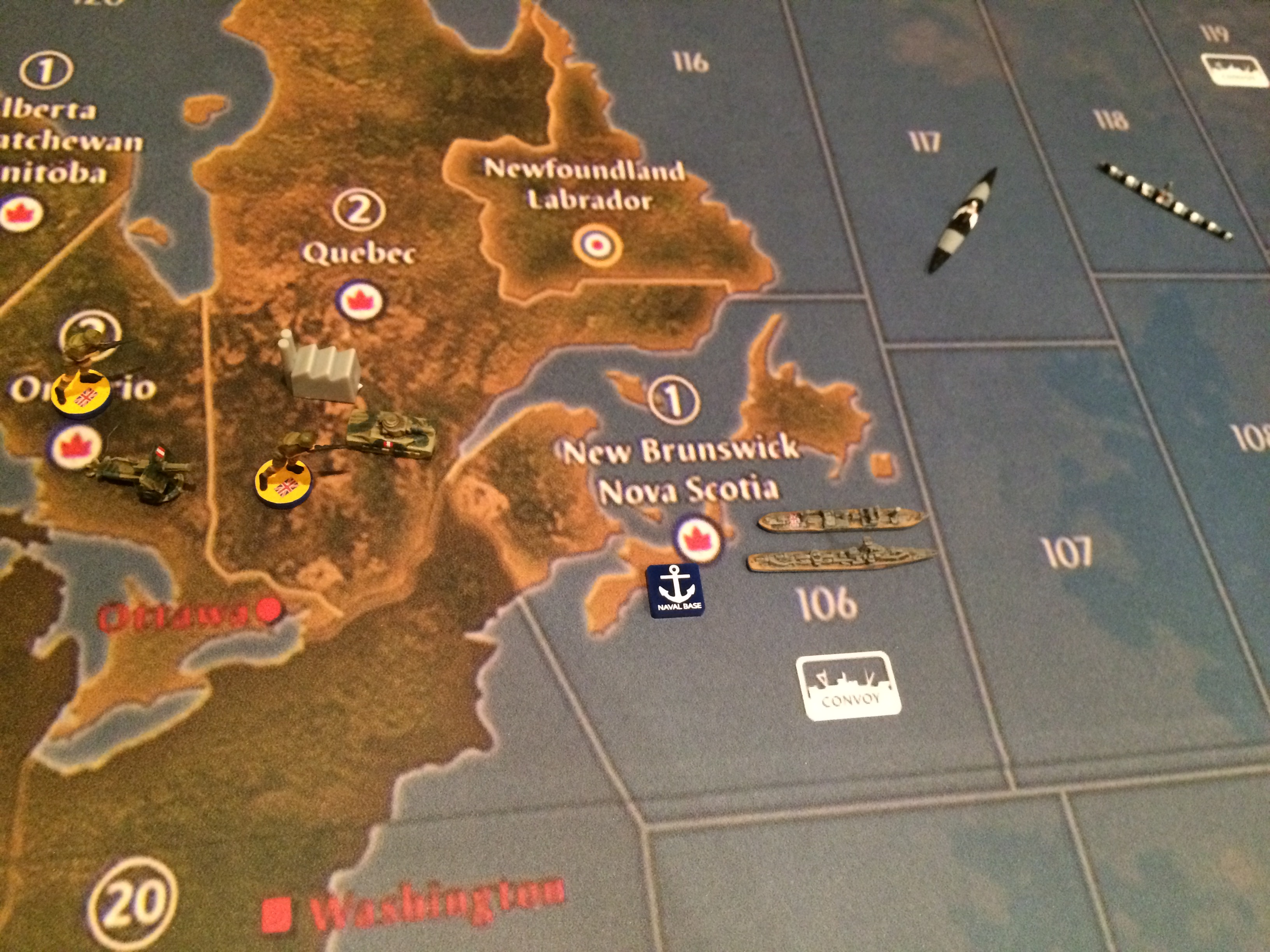
Canadian forces already worried about the German U-boats.
-
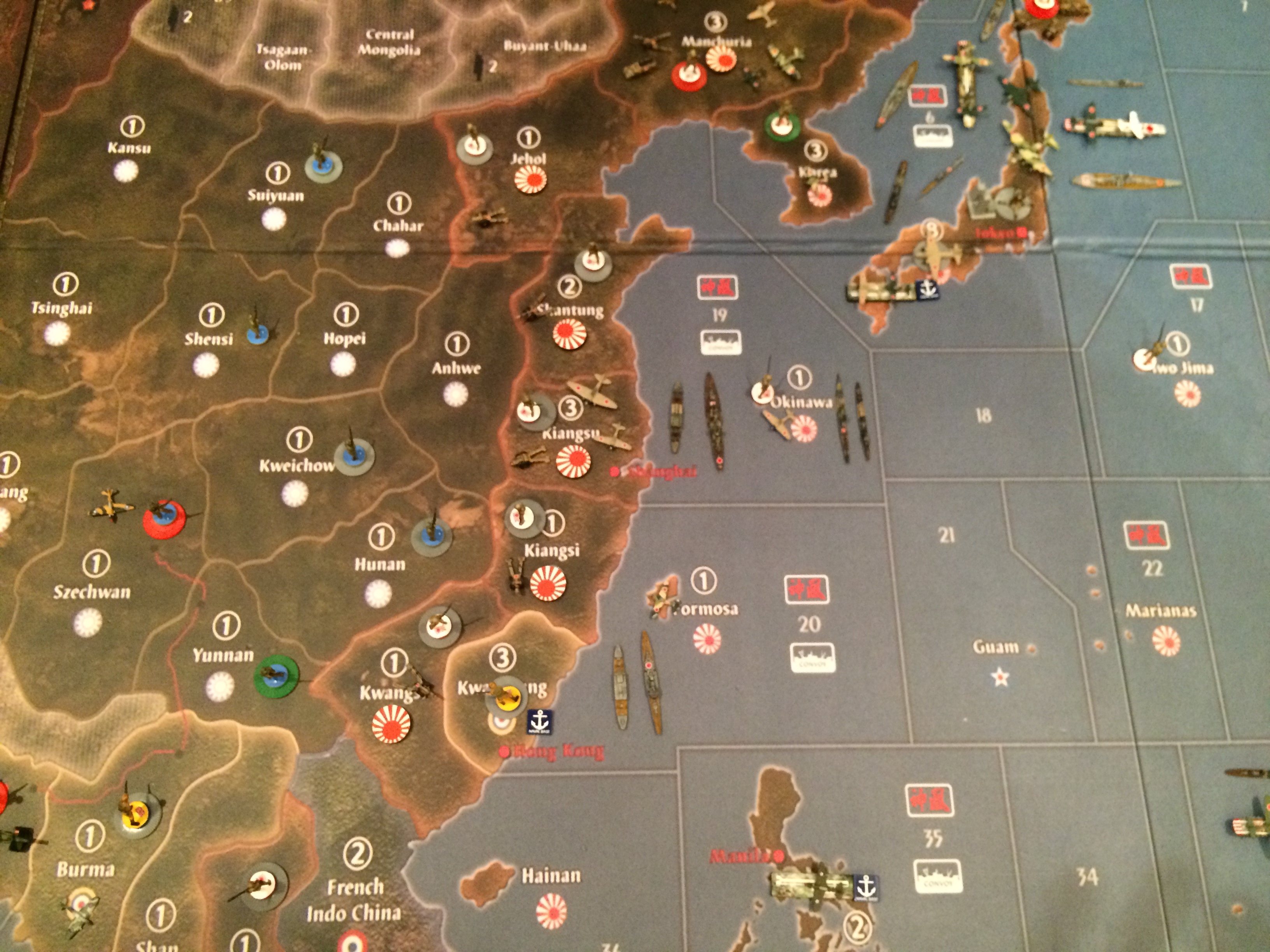
Japan is after Hong Kong.
-
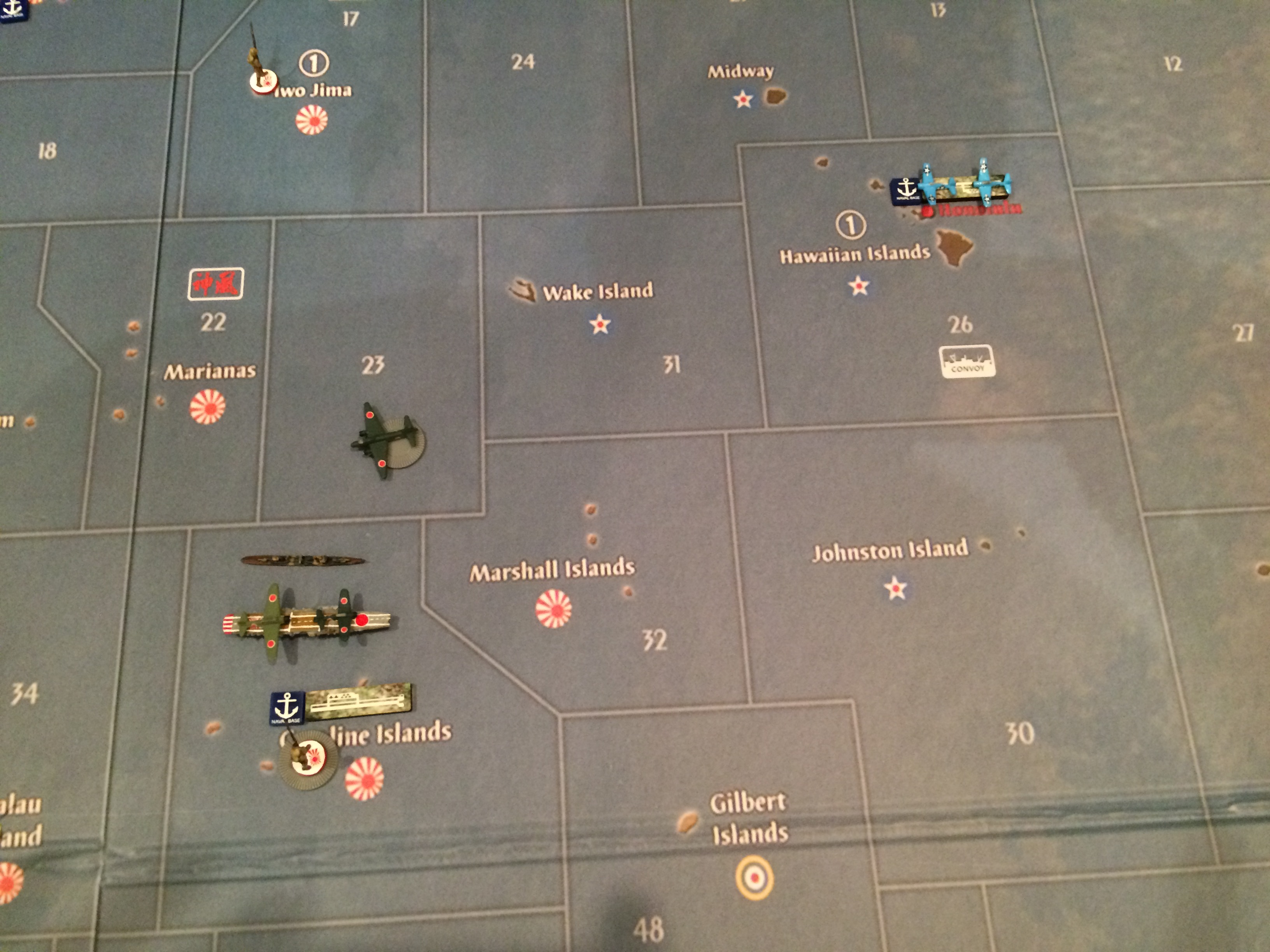
The Pacific soon, will never be the same once these two super powers meet.
-
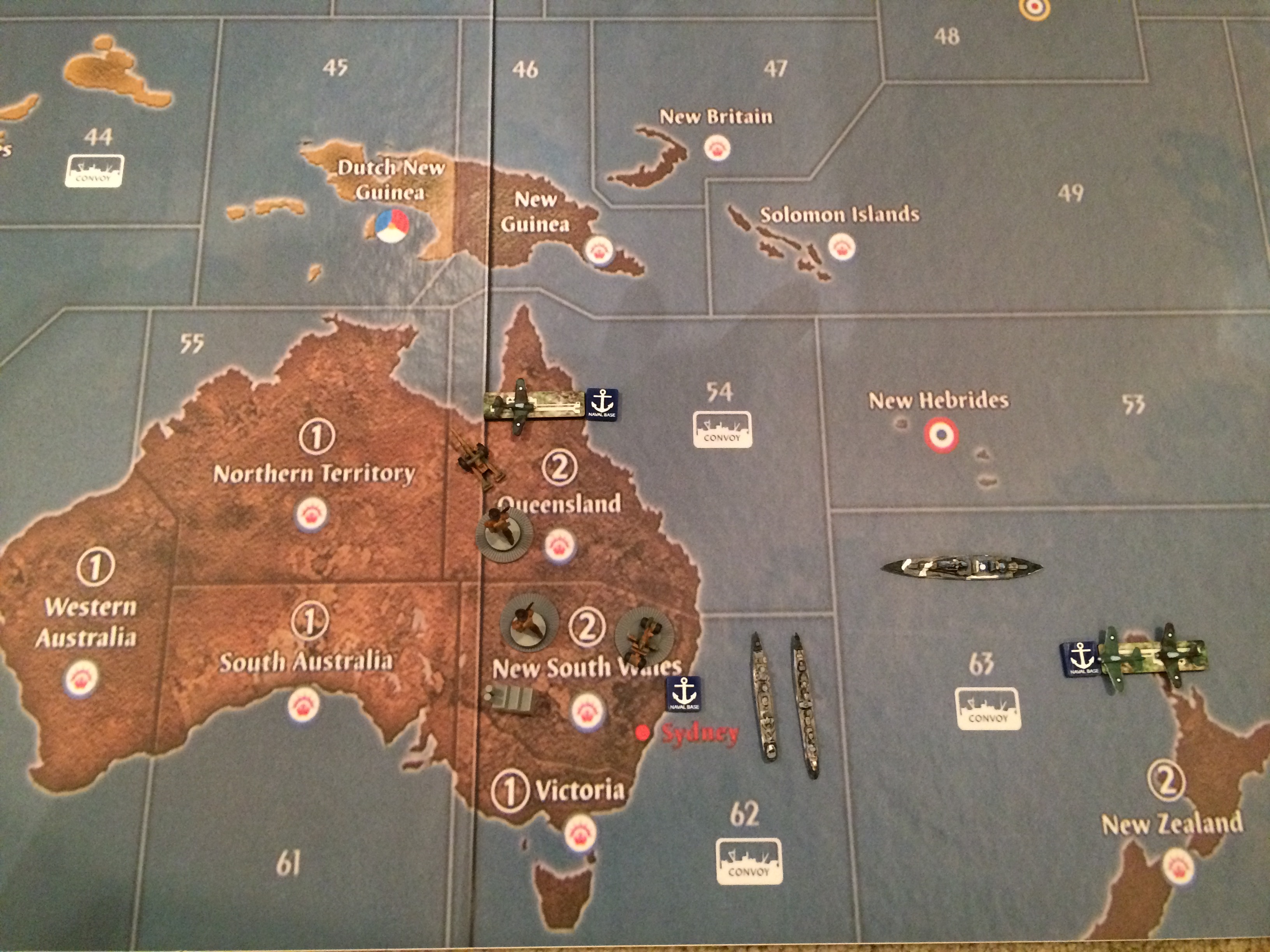
Australia just hold on a little longer.
-
Two pictures did not come out right. I will have to retake them. I will be back.
-
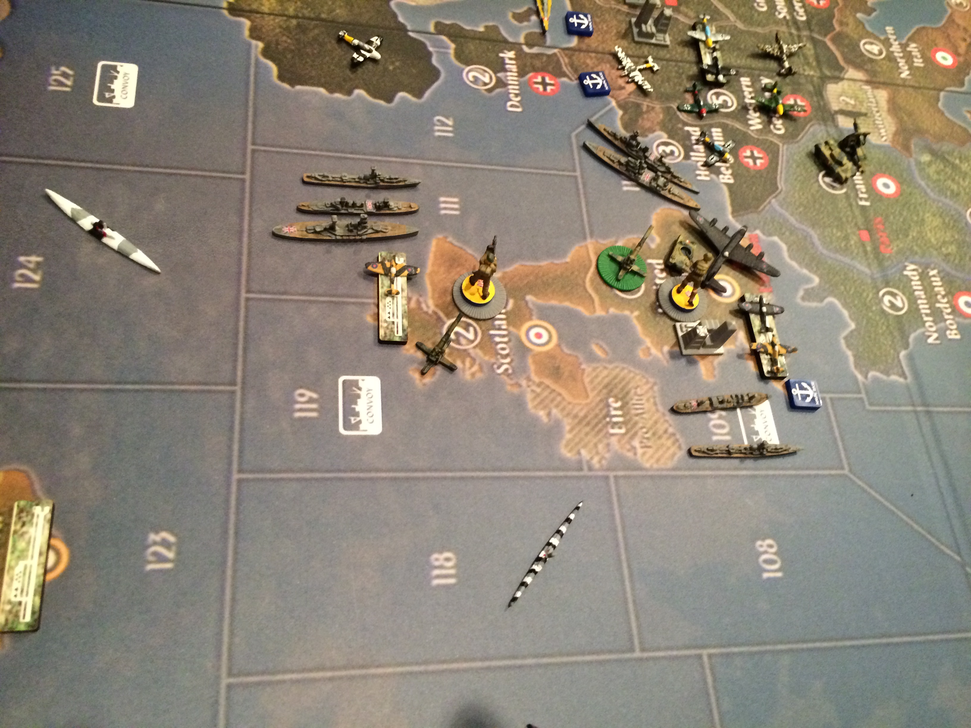
England is surrounded by the Germans.
-
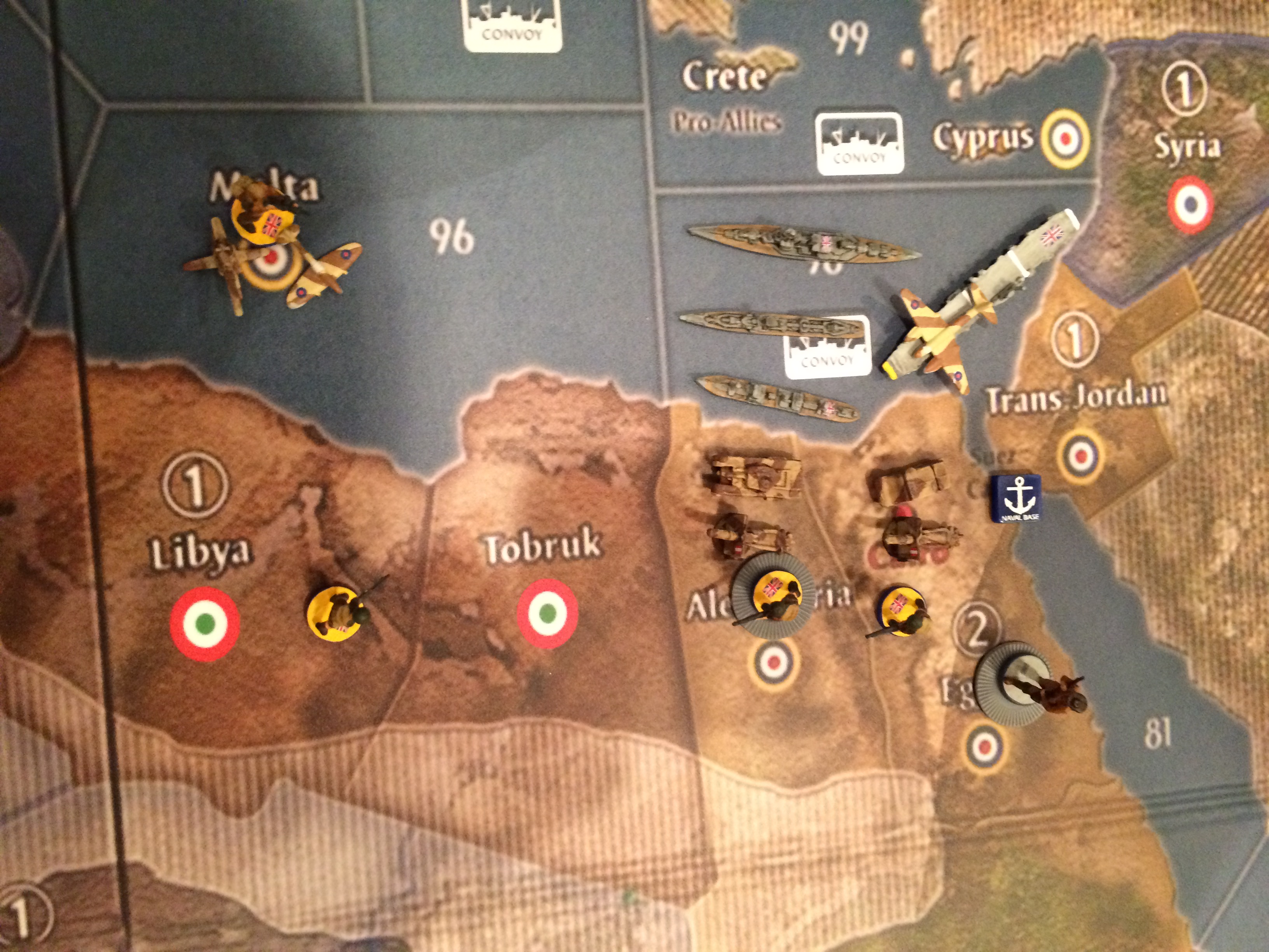
Egypt is ready for war.
-
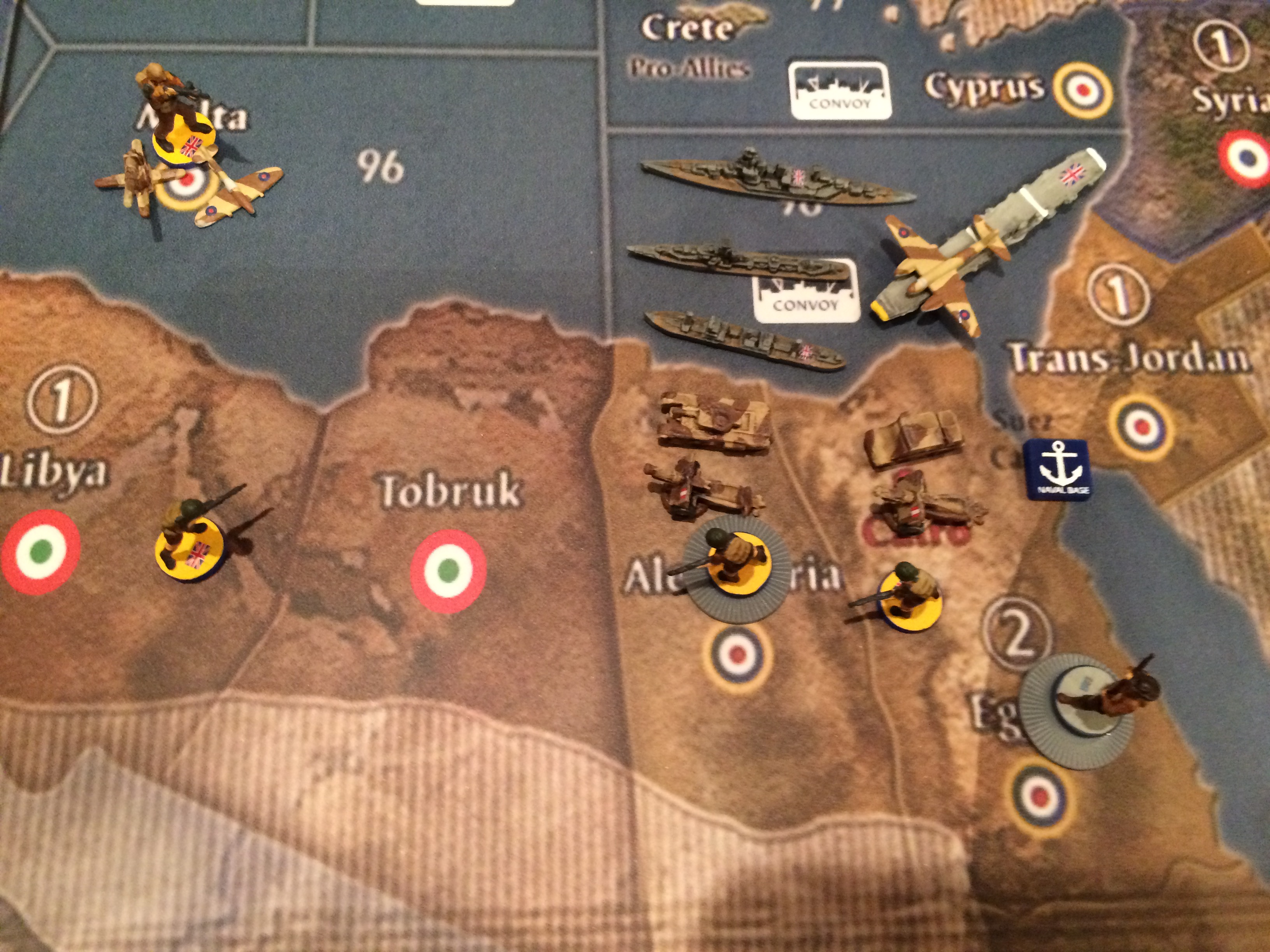
Another picture of Egypt preparing for war with Australia helping with boots on the ground.
-
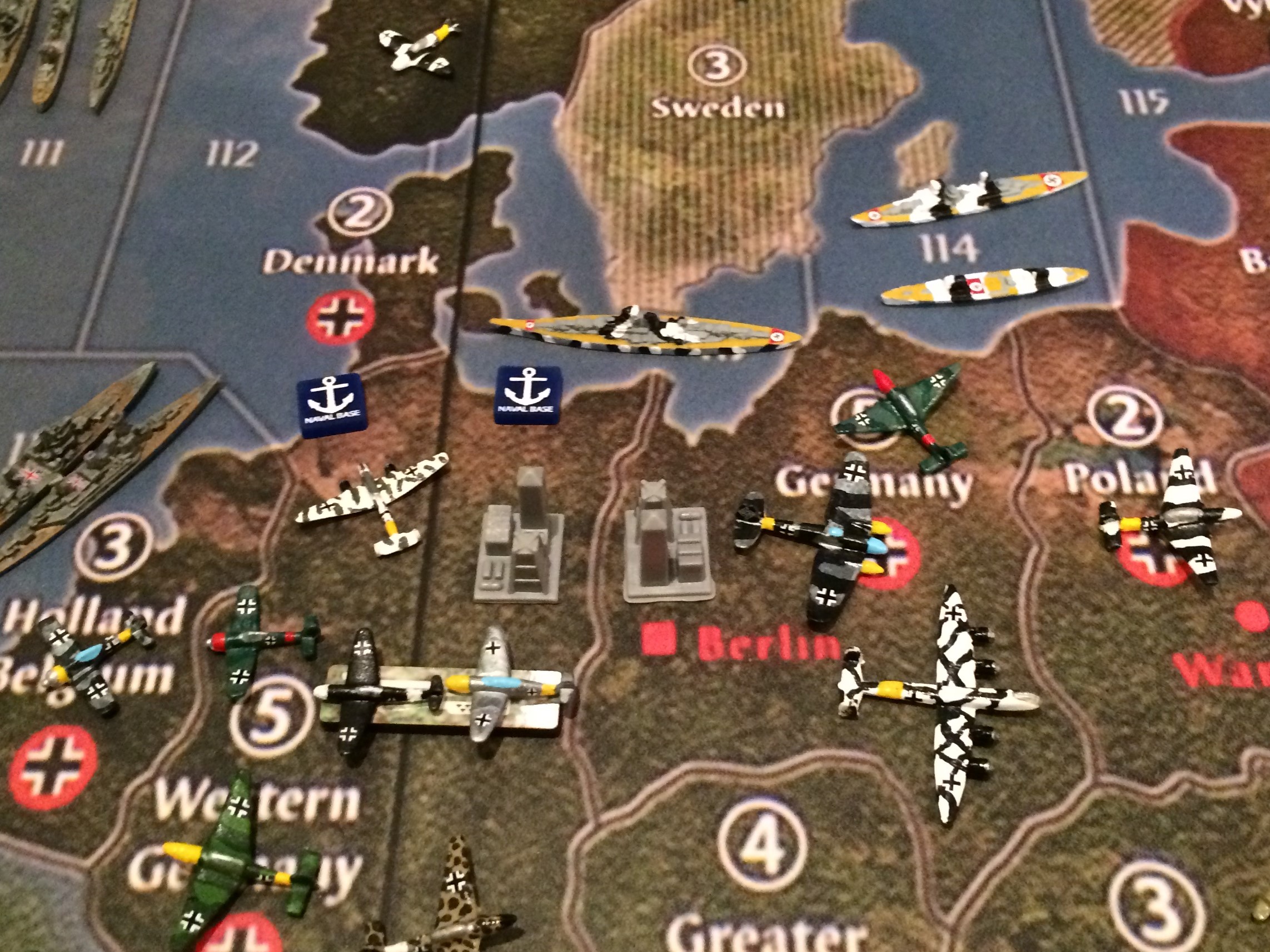
The Last picture is the German War Machine on the move. Enjoy! :-D
-
Guys that is all I have for now, until I paint some German ground forces. Sometime in early 2017, Spitfire will have the Europe and Pacific US forces for my map. Until then, enjoy these pics. Thanks for looking.
John
-
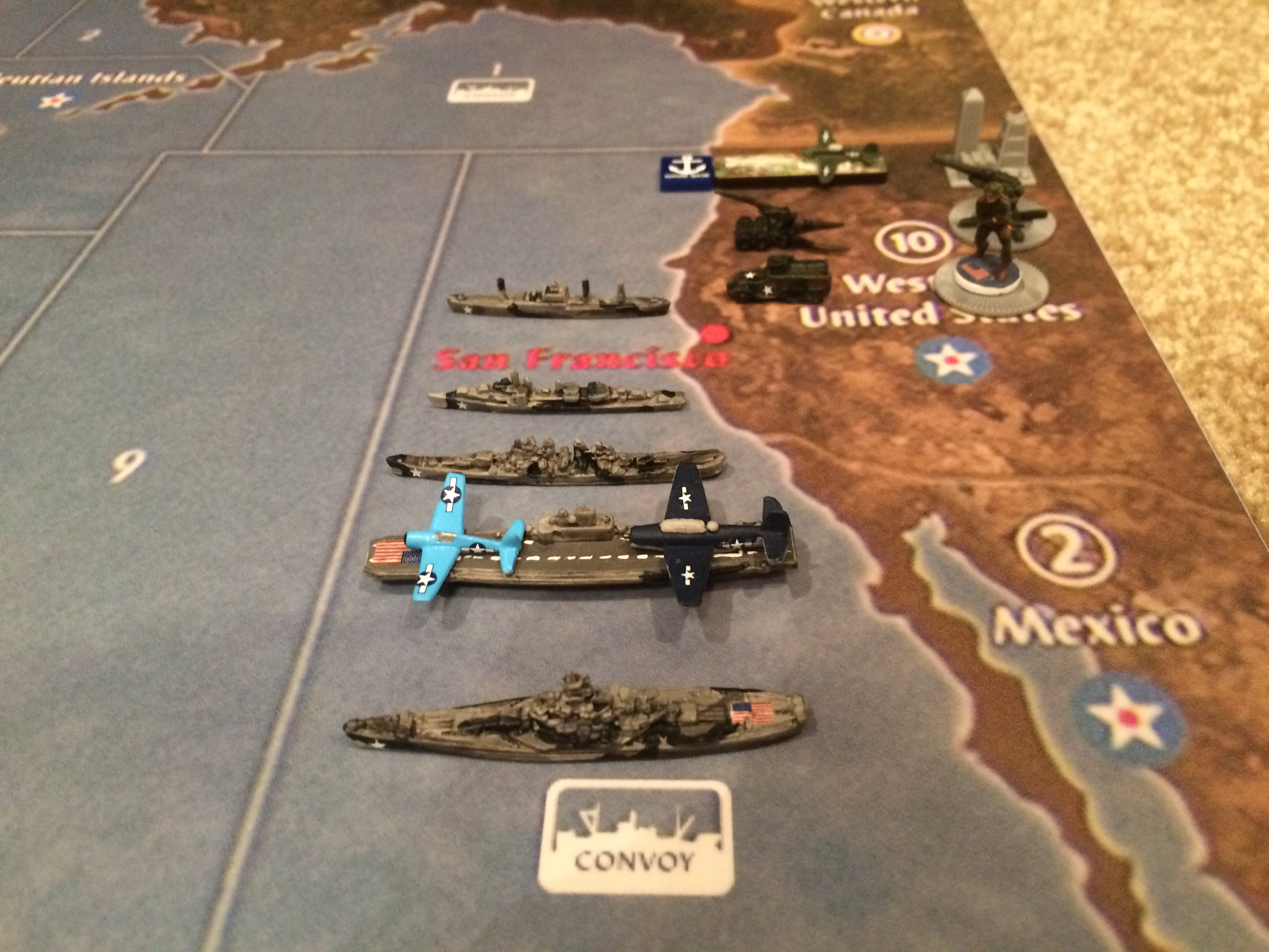
Finally, a completed Pacific 1940 Painted Set for my Metal Map.
**Spitfire did an amazing job on these pieces.
Hope you enjoy the pictures on my custom map.
John
First Picture: US FORCES OFF THE COAST OF THE WESTERN US**
-
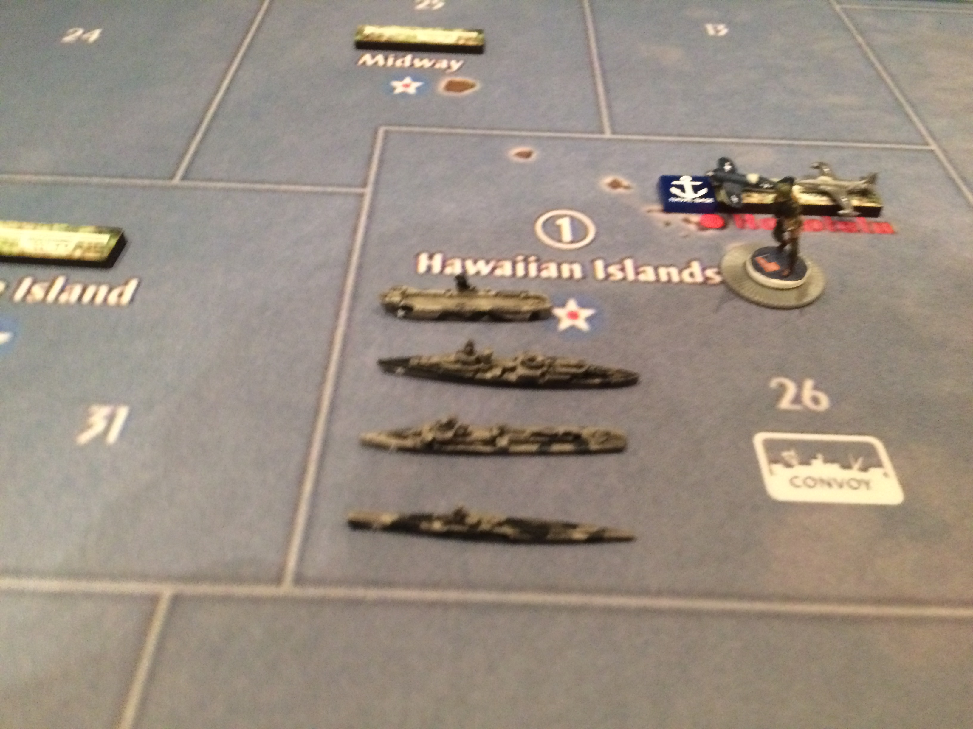
US FLEET, NEAR HAWAII
-
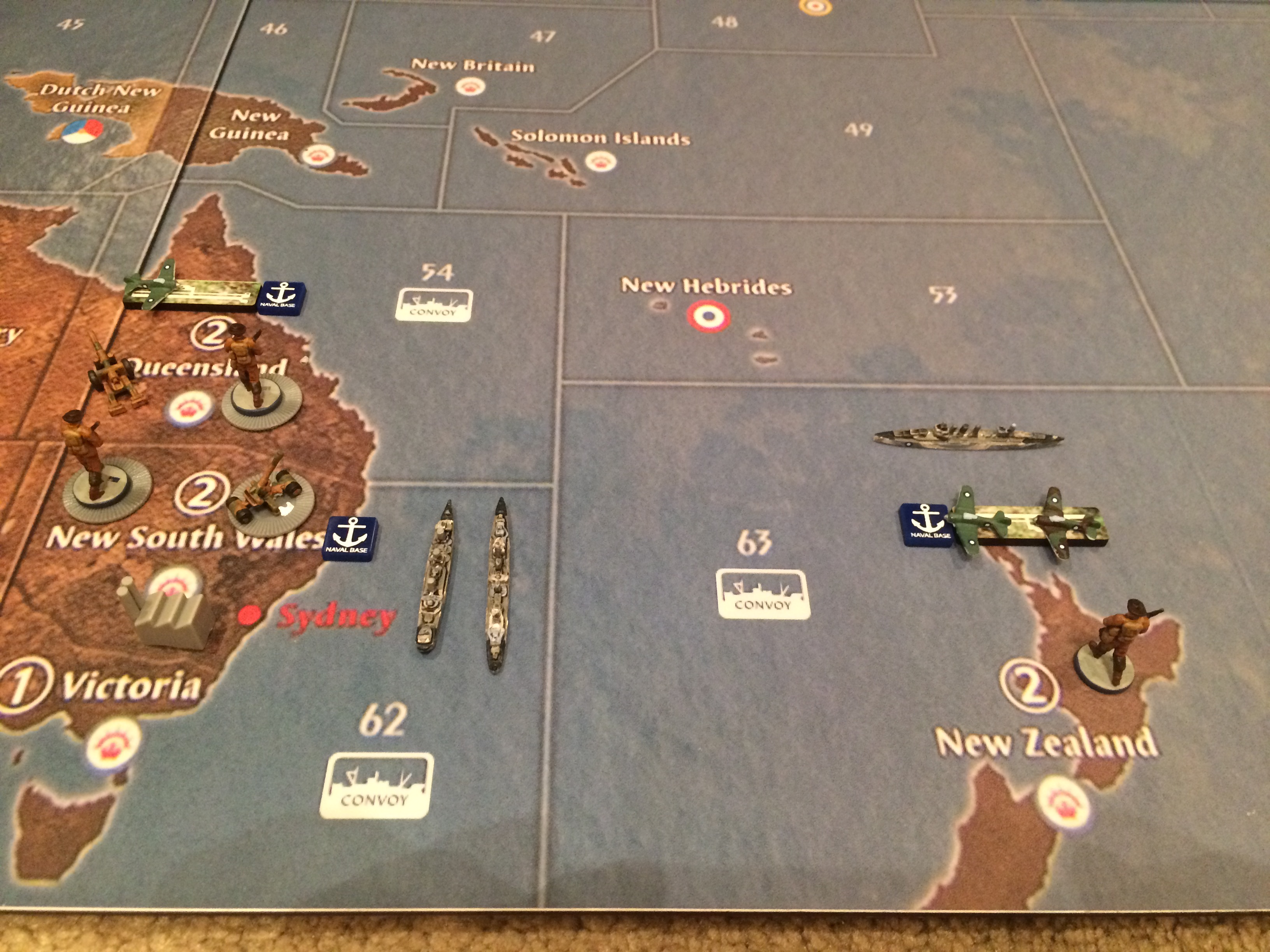
ANZAC FORCES IN AUSTRALIA AND NEW ZEALAND
-
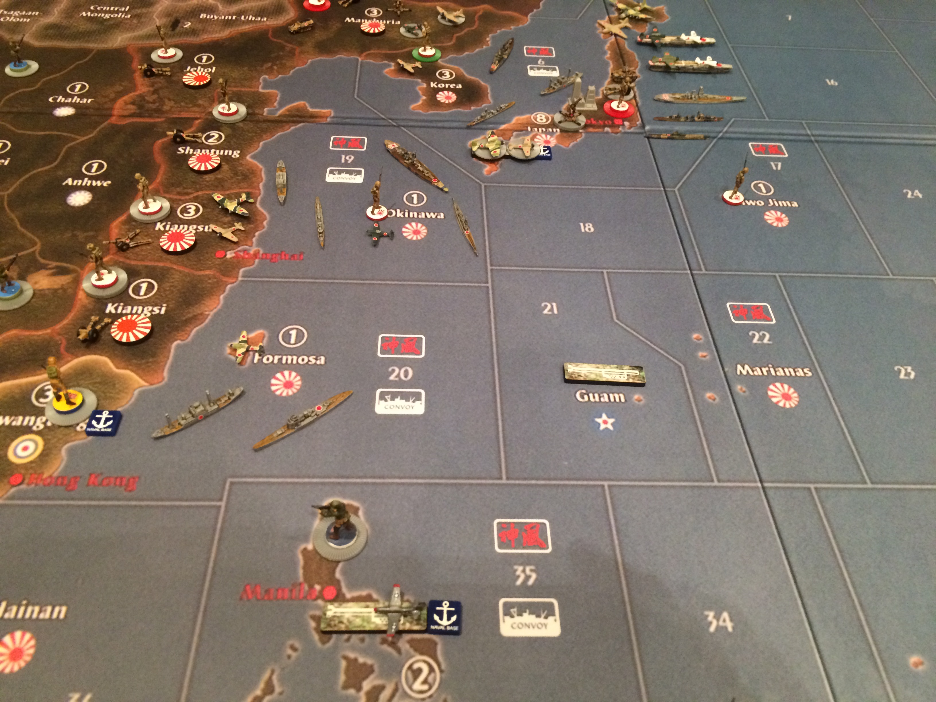
US FORCES IN THE PHILIPPINES SURROUNDED BY JAPANESE FORCES

-
BRITISH FORCES PREPARING FOR JAPANESE INVASION OF INDIA AND BURMA
.JPG)
-
CHINA READY FOR JAPANESE ONSLAUGHT

-
INVASION OF CHINESE COASTLINE BY THE JAPANESE
-
JAPANESE QUEST FOR MAINLAND CHINA BEGINS

-
JAPANESE THINKING ABOUT INVADING RUSSIA, STANDBY

-
JAPANESE HOMELAND AND MAIN FLEET BEGIN THEIR MASTER PLAN OF THE PACIFIC

Suggested Topics

