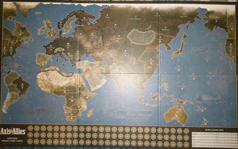
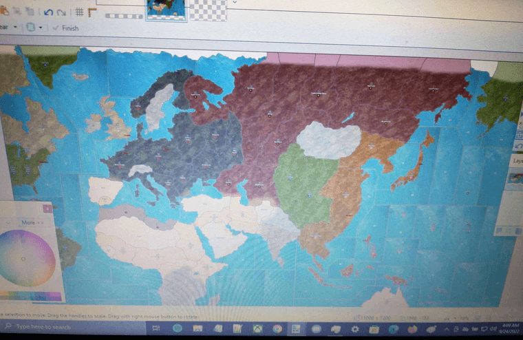
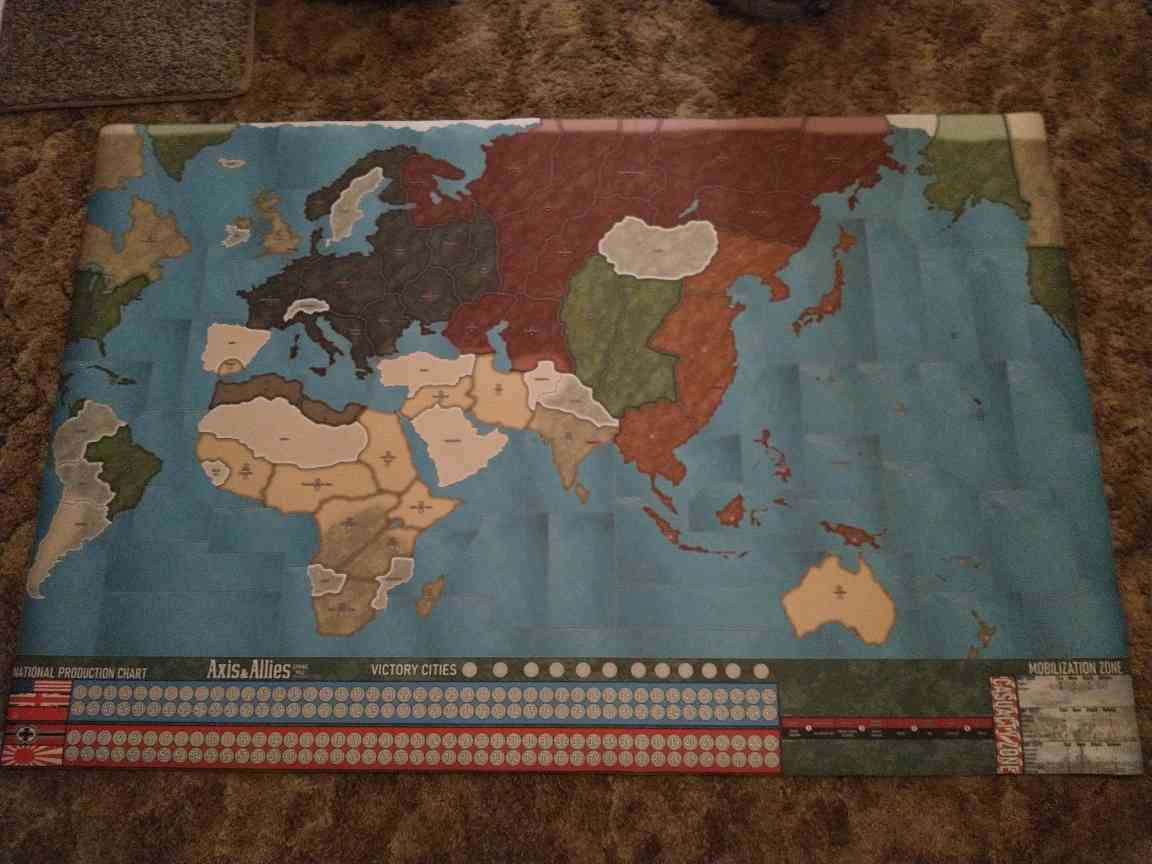
Re: Global 1942 Scenario by Larry Harris
We’ve played this version four times now, and it definitely is tilted towards the Allies. The US is simply too powerful, and Japan has no chance with the US getting 65-70+ income every turn. While it’s still our favorite, there are some challenges. Our thoughts:
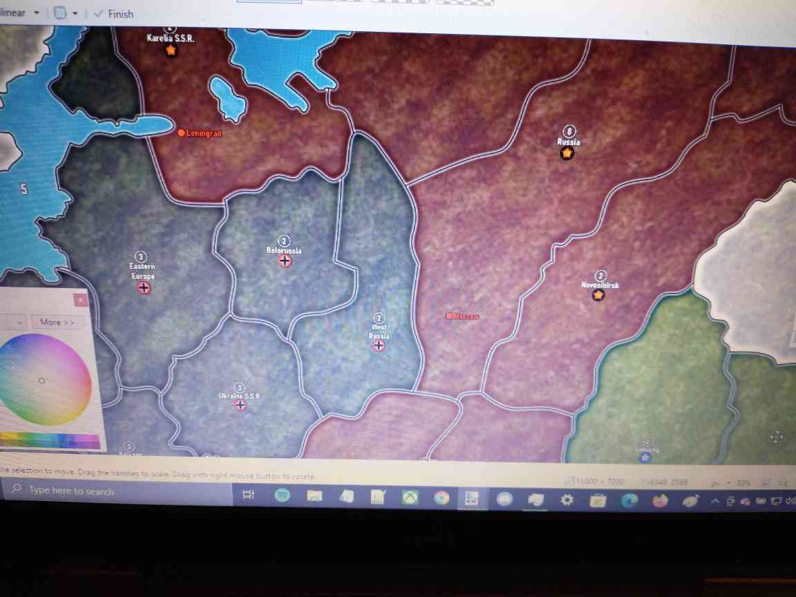
I agree with the assessment that the USSR can knock out 1-2 territories right off the bat. This is similar to the traditional A&A, but Germany doesn’t have the forces to respond in any forceful way to retake anything. USSR is starting with 21+ infantry across the 3-territory front, and Germany can’t get its forces there fast enough. The USSR creates strongholds in Kaliningrad and Ukraine and churns out 10-12 infantry or 6 tanks that immediately come into play. The possible solution for this is for Germany to put a minor IC closer to the front for balance.
Germany has no chance to get transports out of the North Sea due to Britain’s fighter advantage. With France’s help, you would need to get 4+ destroyers/cruisers to protect the transports if you’re trying to go to Iceland and then to Canada/US. The key is to have sub packs hunting any transports that cross, and quick. Once the US takes Gibraltar (which it should do in R1), it becomes a fighter landing factory where they can spawn across the Atlantic and then pound Italy.
The US is just too powerful. The winning path we’ve seen is for the US to make 5-6 fighters per turn and fly them to the Hawaiian islands, then eventually take Wake and Midway. From there, it’s only a matter of time. Japan simply can’t put enough forces to fight through the fighters to get Hawaii, Midway and the islands to the south. The 15 bonus just for having the US each turn is too much. If Germany/Italy can put pressure on the US (which we have seen and done), it can help, but it’s really hard. Italy needs to get income fast, which means going hard and fast after Egypt and the consolidated forces there.
Our Allied player did a very interesting thing by putting a factory in Egypt along with an air base, which made it almost impregnable. Getting Africa quickly is perhaps the least understood key to the war - it allows Italy to prevent ships from coming through the canal and lets them pressure the US. Italy HAS to hold TransJordan to prevent UK ships from crossing the canal. I can’t emphasize enough how important a role plays in helping take pressure off of the UK, which can…
Build up an infantry fortress in India which is impossible to take - UNLESS you build a minor IC on R1 in Malaya. Why Malaya (which is much harder to defend)? Because, under the rules, it can be upgraded to a MAJOR IC - producing 10 units per turn - so India can be overwhelmed. The challenge is that Malaya can be hit (and taken) with the British naval forces attached to India. However, if Japan can do it, they can then turn its attention to…
ANZAC - becomes an income suck very quickly for Japan by grabbing the East Indies. Getting Japan to take out India is probably the most important thing the Axis can do. It frees Japan to focus on island defense and ANZAC. If ANZAC starts getting fighters, they become a transport-hunting force which simply can’t be countered. Otherwise, ANAC spawns a transport and 1-2 infantry per turn that can grab IPC-rich islands. The way I’ve countered this is to flood the Pacific with subs everywhere, which will pick off any unattended transport immediately.
Germany - Has to focus on numbers to overwhelm Russia while hoping that the UK doesn’t undertake strategic bombing raids, which Germany should do anyway to minimize the UK’s strength. The USSR has been able to assemble 25-30 tanks in the last three games, and only an error by the Allied player which allowed me to grab Russia for a turn helped even the balance. I have found that blasting the UK’s IC into dust slows things down a lot.
All in all, a very solid game, but it needs some tweaks so the Axis have a chance.
